What Affects Rates in Sitka
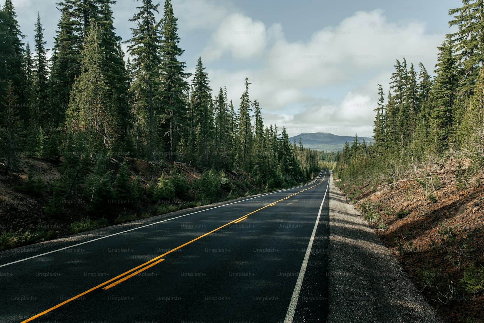
- Sitka's road system spans roughly 14 miles, primarily along Halibut Point Road north and Sawmill Creek Road south. Traffic congestion is minimal, with accident frequency far below state averages. The isolated network and ferry-dependent vehicle transport contribute to lower comprehensive and collision claim rates.
- Sitka receives over 90 inches of annual rainfall, with wet conditions persisting October through April. Roads along the waterfront and near Indian River experience frequent moisture and occasional flooding. Comprehensive coverage addresses weather-related damage, while good tire maintenance reduces hydroplaning risk on slick pavement.
- Deer populations concentrate along forested sections of Halibat Point Road and near the Tongass National Forest boundary. Collisions peak during dawn and dusk, particularly in fall and winter. Comprehensive coverage covers wildlife strikes, which represent the most common claim type for Sitka drivers.
- Many residents transport vehicles via Alaska Marine Highway ferries to Juneau or other communities. Standard auto policies typically cover vehicles during ferry transit, but verifying marine transport coverage prevents gaps. Off-island travel increases exposure to higher-risk driving environments outside Sitka.
- Summer cruise ship arrivals increase pedestrian traffic downtown near Lincoln and Katlian Streets. Rental vehicles and tour buses add congestion during May through September. Liability coverage remains essential, though seasonal traffic spikes are modest compared to Alaska's road-connected cities.
Compare auto insurance rates in your state
Get matched with licensed carriers in minutes. One short form, real quotes, no obligation.
Get Your Free QuoteCoverage Recommendations
Cost estimates are based on available industry data and vary by driver profile. These are not insurance quotes.
Liability Insurance
Essential for pedestrian-heavy downtown areas during cruise season and narrow roads with limited shoulders.
$45–$75/moEstimated range only. Not a quote.
Full Coverage
Recommended for most Sitka drivers given frequent deer encounters and persistent wet road conditions year-round.
$85–$135/moEstimated range only. Not a quote.
Comprehensive Coverage
Critical for Sitka's deer collision risk and heavy rainfall that can cause flooding and vehicle damage.
$30–$50/moEstimated range only. Not a quote.
Collision Coverage
Lower priority given minimal traffic volume, but valuable for narrow sections of Halibut Point Road with limited visibility.
$40–$70/moEstimated range only. Not a quote.
Uninsured Motorist
Important coverage despite Sitka's small population, as uninsured rates in rural Alaska reach 15–20%.
$15–$30/moEstimated range only. Not a quote.