What Affects Rates in Topeka
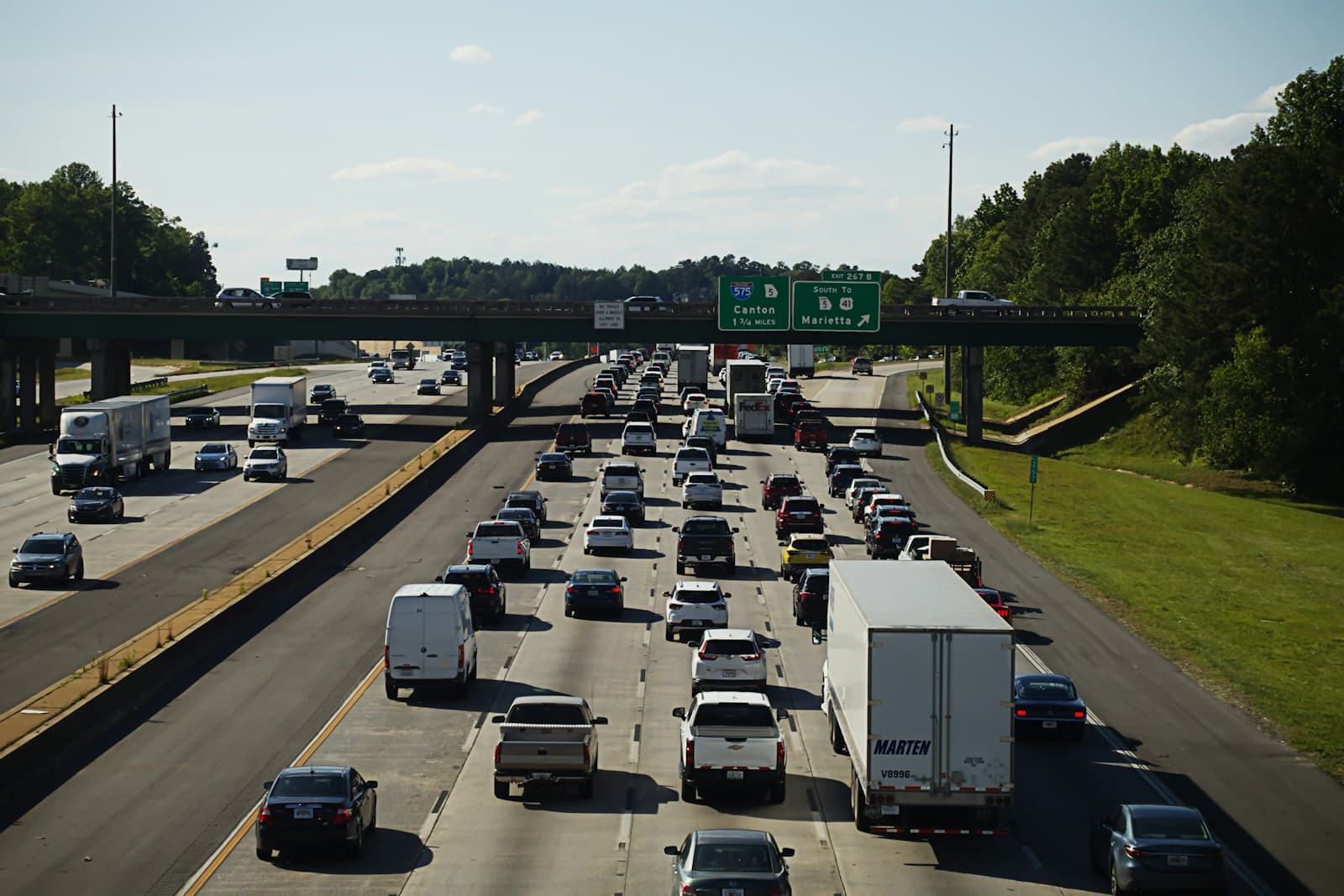
- I-70 cuts directly through Topeka, serving east-west commuters between Junction City and Kansas City, while I-470 loops around the southern edge connecting west Topeka to Oakland and eastern suburbs. Collision frequency on I-70 during winter weather and rush-hour merges near the Wanamaker corridor elevate rates for drivers using these routes daily. Drivers commuting from Auburn or Wakarusa into downtown face lower rates than those on I-70.
- North Topeka neighborhoods near the Kansas River face elevated comprehensive insurance costs due to flood risk, particularly after the 1951 and 1993 floods prompted widespread levee improvements. Properties in zip codes 66608 and 66616 see higher premiums for comprehensive coverage. South and west Topeka neighborhoods on higher ground carry lower flood-related risk.
- Topeka's economy centers on state government, education, and healthcare, producing predictable commute patterns and lower uninsured motorist rates compared to agricultural or industrial centers. Drivers employed at the Capitol complex or Stormont Vail often qualify for employer-based discounts. Stable employment contributes to lower lapse rates and slightly reduced premiums.
- Topeka averages 17 inches of snow annually, with ice storms in January and February causing multi-vehicle pileups on I-70 and US-75. Comprehensive and collision claims spike during freezing rain events, particularly along exposed highway stretches near Lake Shawnee and Burlingame Road. Drivers with winter claims history face higher renewal premiums.
- West Topeka (Westridge, Wanamaker) and southwest areas near Huntoon and Gage show lower theft and vandalism rates than central and eastern neighborhoods. Oakland, central Topeka, and parts of North Topeka see higher comprehensive premiums due to property crime data. ZIP codes 66614 and 66610 generally command lower rates than 66604 and 66616.
Compare auto insurance rates in your state
Get matched with licensed carriers in minutes. One short form, real quotes, no obligation.
Get Your Free QuoteCoverage Recommendations
Cost estimates are based on available industry data and vary by driver profile. These are not insurance quotes.
Liability Insurance
I-70 corridor commuters and downtown drivers face higher multi-vehicle collision risk during winter weather and rush hour.
$40–$70/moEstimated range only. Not a quote.
Full Coverage
Essential for drivers in flood-prone North Topeka areas and those commuting I-70 year-round through ice and snow.
$95–$165/moEstimated range only. Not a quote.
Comprehensive Coverage
Critical for Kansas River flood zones in 66608/66616 and neighborhoods with higher property crime rates in central Topeka.
$25–$50/moEstimated range only. Not a quote.
Collision Coverage
High value for I-70 and I-470 commuters facing elevated crash risk during winter ice storms and summer construction zones.
$45–$90/moEstimated range only. Not a quote.
Uninsured Motorist
Topeka's uninsured rate sits near 9%, lower than rural Kansas but still present in higher-density neighborhoods.
$10–$20/moEstimated range only. Not a quote.