What Affects Rates in Laramie
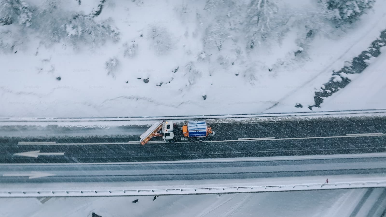
- Interstate 80 runs directly through Laramie, carrying heavy truck traffic between Cheyenne and Rawlins. Winter closures and multi-vehicle pileups during snowstorms increase collision risk, particularly near the Summit Rest Area west of town. Drivers commuting to the refinery or industrial sites along Curtis Street face elevated exposure during peak hours.
- The University of Wyoming campus and surrounding neighborhoods see high turnover and younger drivers with less experience. Streets like Ivinson Avenue and Grand Avenue experience congestion during academic sessions. Student housing areas near 15th Street and Harney Street show higher rates of minor accidents and parking incidents.
- Laramie sits at 7,165 feet with extreme winter conditions from November through April. Snowy Range Pass west of town frequently closes, and wind events exceed 60 mph regularly. Black ice on US-287 north toward Virginia Dale and on Snowy Range Road creates collision hazards that insurers price into comprehensive and collision coverage.
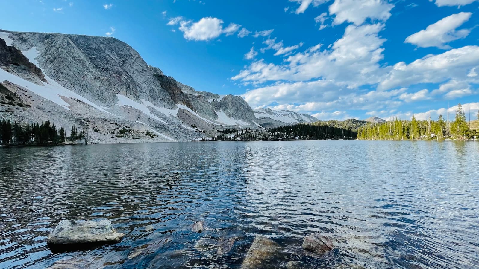
- Deer and antelope crossings are common on Highway 130 toward Centennial and along Happy Jack Road east toward Cheyenne. Dusk and dawn present highest collision risk, particularly during migration seasons. Comprehensive claims for animal strikes are frequent enough to influence rates for drivers outside city limits.
- Laramie's small population and lower property crime rates result in below-average comprehensive premiums compared to Wyoming cities like Casper or Cheyenne. Vehicle theft is rare, though catalytic converter theft has increased near WalMart and industrial areas along Pilot Hill Avenue.
Compare auto insurance rates in your state
Get matched with licensed carriers in minutes. One short form, real quotes, no obligation.
Get Your Free QuoteCoverage Recommendations
Cost estimates are based on available industry data and vary by driver profile. These are not insurance quotes.
Liability Insurance
Wyoming requires 25/50/20 minimums, but I-80 multi-vehicle crashes and tourist traffic through Laramie justify higher limits.
$45–$75/moEstimated range only. Not a quote.
Full Coverage
Recommended for drivers financing vehicles or facing Snowy Range winter driving and frequent wildlife crossings on Highway 130.
$85–$145/moEstimated range only. Not a quote.
Comprehensive Coverage
Critical for Laramie drivers due to hail events, deer collisions on Happy Jack Road, and wind damage from Snowy Range downslope events.
$25–$50/moEstimated range only. Not a quote.
Collision Coverage
Essential for winter commuters on I-80 and US-287 where black ice and sudden whiteouts cause frequent single-vehicle incidents.
$40–$80/moEstimated range only. Not a quote.
Uninsured Motorist
Albany County sees seasonal workers and transient populations with higher uninsured rates than Laramie proper, making this valuable for Highway 287 commuters.
$10–$20/moEstimated range only. Not a quote.